Connect this guide with the rest of your visit in the Phuket trip planner. Read how the research is made and what its sources establish.
At a glance
Start here
- Read mud, mangroves and seagrass as functioning habitat rather than scenery to be corrected.
- Use Chalong's pier activity to understand a working bay, not as evidence that a boat trip should proceed.
- Keep wildlife and marine warnings separate from generic seasonal expectations.
- Observe from authorised land unless current authorities and an operator confirm a water activity.
01
East and west are different kinds of shore
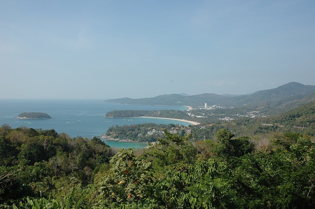
The Thai-language TAT Phuket page describes a sandy, indented west coast and an east coast characterised more by mangroves and mudflats. That broad contrast explains why a traveller looking only for beach-resort imagery can miss half the island's coastal story. The east is valuable precisely because sheltered, sediment-rich shores support different habitats and uses.
Do not rank one coast as naturally better. Ask what each landscape does: dissipates energy, traps sediment, provides habitat, supports mooring or connects communities with the sea. A viewpoint, roadside glimpse or authorised boardwalk can answer those questions without trespassing into intertidal ground or turning an ecological site into an improvised swimming stop.
- Describe the substrate before judging the view.
- Look for tidal change across the day.
- Stay on public, designated observation routes.
02
Mangroves occupy the land-sea boundary
DMCR's Phuket mangrove resource describes mangrove forest as an intertidal ecosystem found along coasts, estuaries, bays, lagoons and islands where brackish water and regular tidal flooding shape plant and animal communities. Its Phuket data locate mangrove areas in both Thalang and Mueang Phuket districts.
The page is dated 2019 and includes older inventory figures, so this feature does not present its area totals as a current census. The durable lesson is spatial: mangroves are part of Phuket's coastal structure, not an ornamental fringe. Visitors should not leave a path, break roots or organise unsanctioned planting based on a travel article.
- Use current DMCR or site interpretation for condition claims.
- Do not collect wood, plants or animals.
- Avoid stepping onto exposed mud for a photograph.
03
Seagrass is not an empty flat
A 2025 DMCR survey at Ao Pa Klok used line transects and spot checks and recorded six seagrass species across the surveyed potential area. The agency described low cover and differences between the inner shore and areas that remain submerged. That evidence turns an apparently plain bay into a monitored ecological landscape.
The survey is a scientific status record, not a visitor-access guide. Do not walk, anchor, paddle or collect in the surveyed area because an article identifies it. If a licensed or community operator offers an activity, ask how the route avoids sensitive habitat and let current DMCR directions define what is permitted. No wildlife sighting can be promised from habitat data.
- Treat survey findings as ecological context, not a tour map.
- Never promise dugong, turtle or other wildlife sightings.
- Ask operators how they avoid seagrass beds and restricted areas.
04
Chalong is a working bay before it is a postcard
The Phuket provincial bay page describes Chalong's muddy shoreline, mooring role, jetty and day-trip boat activity. Those features make it useful for understanding how Phuket connects to nearby islands and maritime businesses. They do not make the shoreline a swimming recommendation; the same official page says it is not suitable for swimming.
Observe traffic between road, pier and water from a lawful public area. Keep working routes clear and do not assume the jetty is a promenade open under all conditions. A busy pier also says nothing about the safety of a departure. Every boat decision still depends on the current operator, port or marine authority and weather information.
- Keep clear of loading and crew areas.
- Do not enter the water from a working bay.
- Separate visible activity from permission to join it.
05
Marine warnings are event-specific and can change fast
A 2026 DMCR Phuket notice reported a local concentration of venomous jellyfish near Ko Aeo and directed the public to the DMCR marine-warning website for further alerts. That dated event does not prove the same hazard exists everywhere now. It does prove why a current warning channel matters more than a general season label.
During this research, the DMCR alert and warning portal timed out on direct open, while search-rendered official evidence exposed the alert and channel. The TMD shipping page also failed on direct open after its current search result described Andaman conditions. Travellers must retry the official channels, ask on-site authorities and accept cancellation; this article cannot fill a live-data gap.
- Check warning.dmcr.go.th close to any coastal activity.
- Check TMD's shipping forecast and regional warnings.
- Follow beach, pier, park and operator instructions even when the water looks calm.
06
Build a land-based east-coast reading
A responsible half-day can pair one authorised mangrove interpretation point with a working-bay observation and a museum or town stop. The sequence is editorial: ecology first, maritime use second, then urban context. It should shrink immediately if access is unclear, weather deteriorates or the only available route crosses private or protected land.
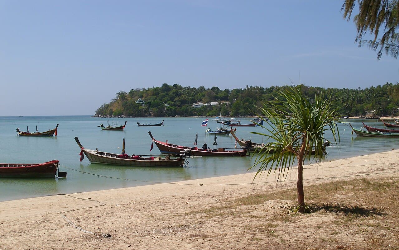
The existing Rawai Waterfront image assigned to this feature is destination-context photography for a working Phuket coast; it does not depict Pa Klok seagrass or prove access to a DMCR survey site. Keep that distinction visible in any publication. The aim is to change how the east coast is read, not to advertise a precise excursion.
- Choose sites from current official or community visitor information.
- Carry observations away, not natural material.
- Omit any stop whose access status cannot be confirmed.
Useful answers
Reader questions
Why does Phuket's east coast look muddier than the west?
TAT describes the east as more associated with mangroves and mudflats, while the west has more indented sandy bays. They are different coastal systems, not better and worse versions of one shore.
Sources: Tourism Authority of ThailandCan visitors walk through the Pa Klok seagrass area?
The DMCR source is a survey report, not visitor permission. Use only an authorised route confirmed by the responsible authority or operator, and do not enter habitat on this article's basis.
Sources: Department of Marine and Coastal ResourcesIs Chalong Bay a swimming beach?
This article does not recommend swimming there. The provincial page describes a muddy working bay and explicitly says the shoreline is unsuitable for swimming; current on-site rules still control access.
Sources: Phuket Provincial Governor's OfficeWhere should I check current Phuket marine warnings?
Use the DMCR marine-warning system and TMD's shipping and regional forecast pages, then obey on-site authorities and the operator. If current information cannot be confirmed, do not infer that water activity is safe.
Sources: Department of Marine and Coastal Resources; Thai Meteorological DepartmentRead the evidence
Sources and further reading
These sources support the relevant sections above. Plans and comparisons are editorial suggestions. Check operators for current arrangements.
- ภูเก็ต ↗Tourism Authority of Thailand · Research date 14 September 2026
The broad physical contrast between Phuket's sandy west-coast bays and the east coast's mangroves and mudflats.
- สถานการณ์ทรัพยากรป่าชายเลน จ.ภูเก็ต ↗Department of Marine and Coastal Resources · Research date 14 September 2026
Mangroves as intertidal ecosystems and their recorded presence in Thalang and Mueang Phuket; dated inventory totals are not treated as current.
- ศ.วิจัยอันดามันตอนบน สำรวจและติดตามสถานภาพทรัพยากรหญ้าทะเลบริเวณอ่าวป่าคลอก จังหวัดภูเก็ต ↗Department of Marine and Coastal Resources · Research date 14 September 2026
The 2025 Pa Klok survey method, recorded seagrass species and low-cover status; it does not establish visitor access.
- Bay ↗Phuket Provincial Governor's Office · Research date 14 September 2026
Chalong's muddy shoreline, no-swimming wording, mooring function, jetty and boating activity.
- รองนายกฯ สุชาติ แจ้งเตือน "แมงกะพรุนไฟ" บริเวณเกาะแอว จ.ภูเก็ต แนะเลี่ยงกิจกรรมทางทะเลในระยะนี้ ↗Department of Marine and Coastal Resources · Research date 14 September 2026
A dated 2026 Phuket alert and DMCR's warning.dmcr.go.th channel; direct page open timed out, so it does not support a claim about current conditions.
- Shipping Weather Forecast ↗Thai Meteorological Department · Research date 14 September 2026
The official live shipping-forecast channel for Andaman wind, waves and thunderstorms; direct open failed, so no values are frozen.